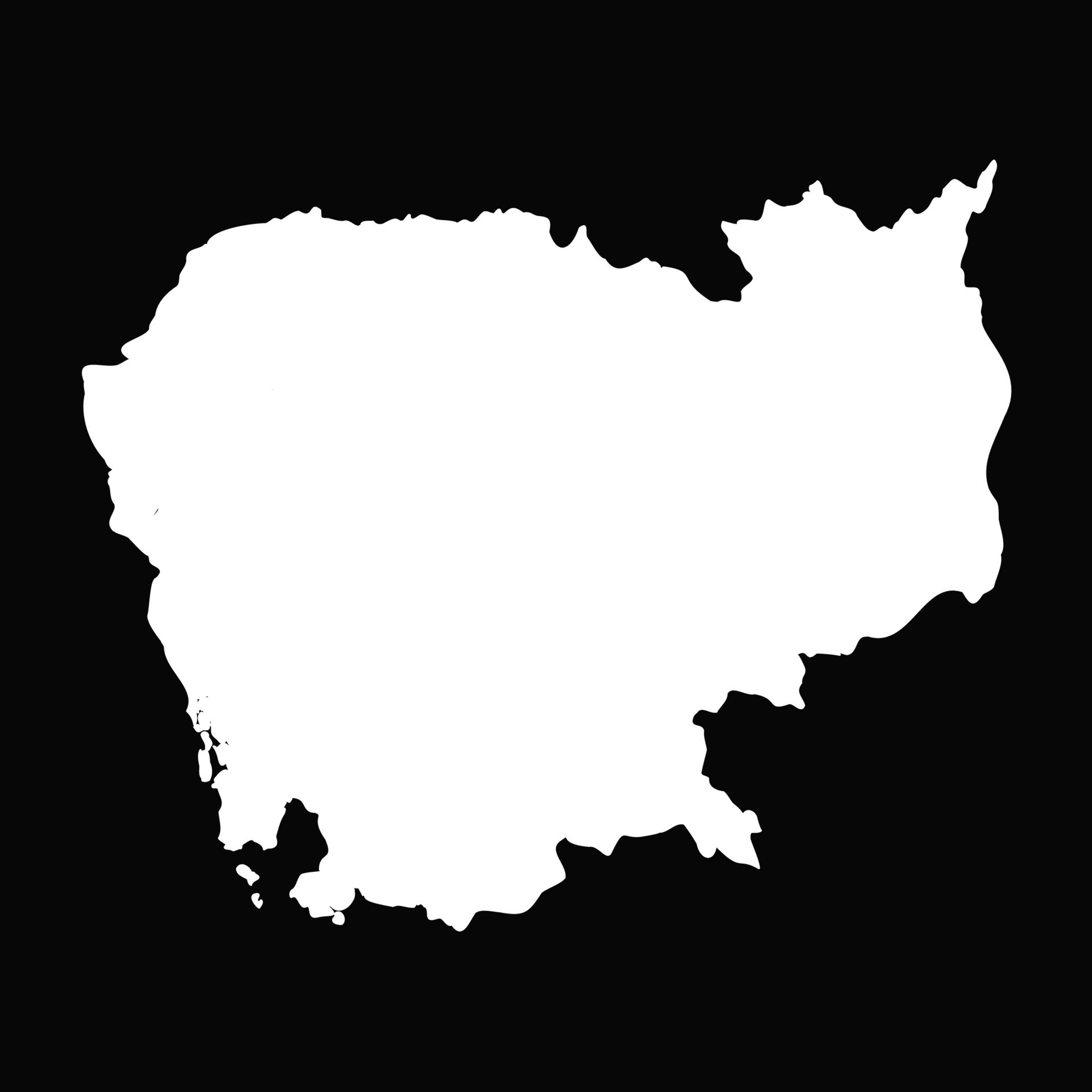
This webpage contains the map of Cambodia, showcasing all of Cambodia's provinces and cities. This website is part of our App Development I class assignment at NUM. The goal is to practice building a simple web interface with HTML, styling and page navigation. The Cambodia map page includes clickable province links, while the about and contact pages show how we can organize project information and contact details for a class submission.
Cambodia's administrative structure consists of 24 provinces (khétt) and Phnom Penh, the capital, which is an autonomous municipality with provincial status. Each province is headed by a governor appointed by the central government and is subdivided into districts (srok), communes (khum), and villages (phum) to facilitate local administration and service provision.
Phnom Penh: Capital city, business, history Banteay Meanchey: Border trade, temples Battambang: Rice fields, colonial buildings Kampong Cham: Mekong River, rubber plantations Kampong Chhnang: Pottery, floating villages Kampong Speu: Palm sugar, mountains Kampong Thom: Sambor Prei Kuk temple Kampot: Pepper, riverside tourism Kandal: Farming, near Phnom Penh Kep: Crab, seaside Koh Kong: Islands, mangroves, nature Kratie: Dolphins, Mekong River Mondulkiri: Elephants, waterfalls, forests Oddar Meanchey: Border area, temples Pailin: Gemstones, mountains Preah Sihanouk: Beaches, islands Preah Vihear: Ancient temple Pursat: Marble, floating villages Prey Veng: Rice farming Ratanakiri: Red soil, forests, nature Siem Reap: Angkor Wat Stung Treng: Mekong River, eco-tourism Svay Rieng: Border trade Takeo: Ancient temples Tboung Khmum: Rubber plantations, agriculture